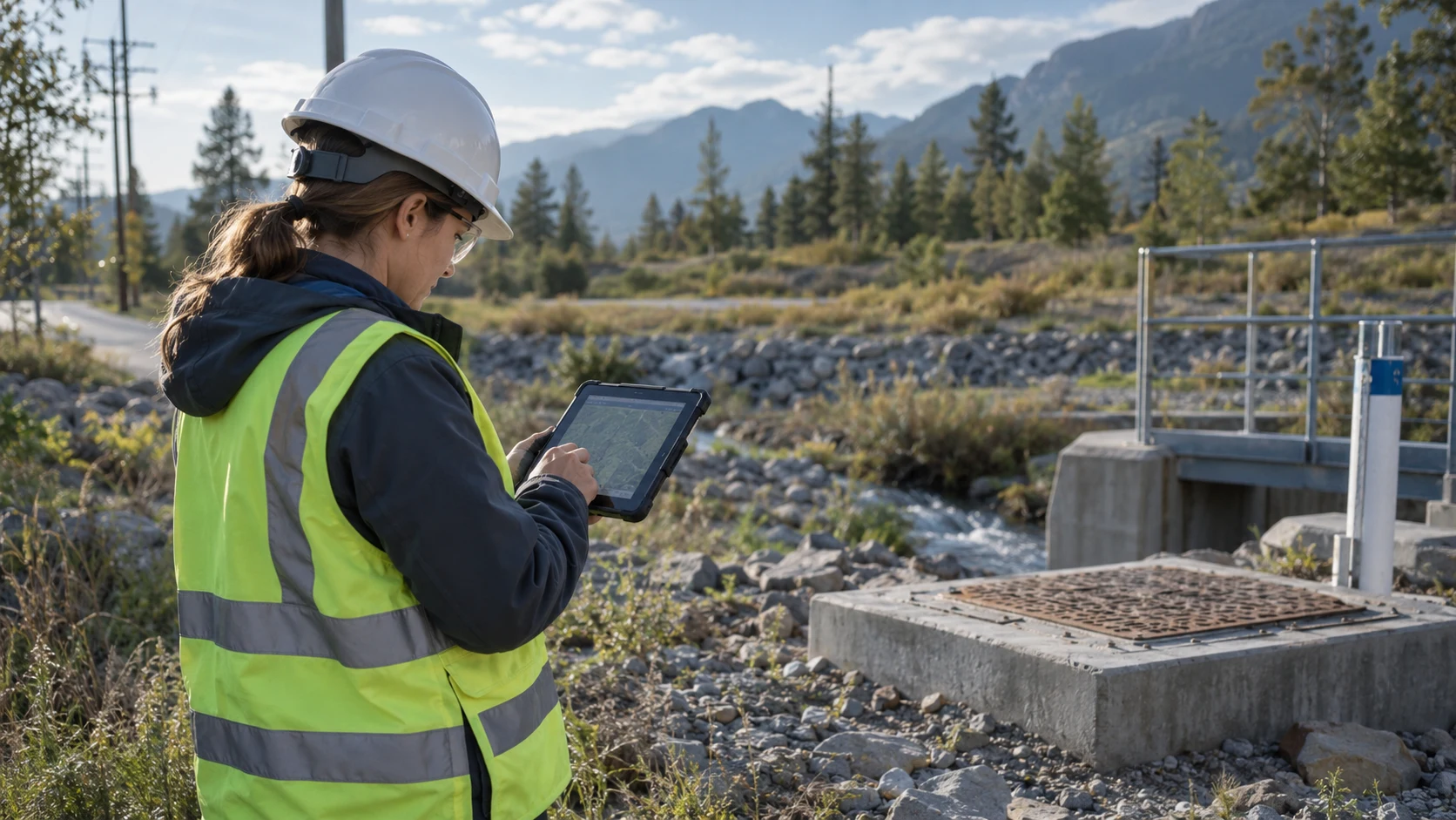
Project fit & buying priorities
GIS vendors, survey and infrastructure teams, positioning providers and system integrators can assess the workflow, integration and ongoing support together. Operations should define tasks and exceptions, IT should validate interfaces and access, and procurement should compare complete configurations and service scope.
Assess the display terminal separately from the survey receiver. Confirm CRS, correction source, antenna installation and data formats; standard GNSS is not a substitute for RTK accuracy.
From field action to a complete record
- 01Load the project CRS and basemap
- 02Connect the receiver and log positioning status
- 03Capture features, attributes and photographs
- 04Review coordinates before delivering results
System integration & delivery responsibilities
Use control point, CRS, position status, corrections, attributes, result version as the integration checklist. Define field ownership, required values and exception handling. Complete one representative job from terminal to API and backend review before scaling to more teams or sites.
SOTEN provides field terminals, interfaces and configuration support. Positioning and GIS partners supply receivers, correction services, coordinate processing and business algorithms. Determine accuracy through tests of the selected system.

Turn requirements into testable selection criteria
| Criterion | Confirm with the project team | Evidence to request |
|---|---|---|
| Use and configuration | Confirm capture methods, environment and operator interaction against the criteria above | Representative jobs, tags and peripheral list |
| Systems and interfaces | GIS / location services / asset and work-order platforms application version, fields, SDKs and protocols | Installable software, API specification and test account |
| Operations and support | Actual shifts, power, network, mounting and spare-unit plan | Full-shift test, installation drawing and support responsibilities |
Product platforms to evaluate
Select a platform by workflow, then confirm the branch, operating-system version and modules. The suggestions below do not mean every option is included in every configuration.

H101
Map layers & field formsField-tablet option for maps, layers, forms and peripheral integration.
View platform and configurations ↗
H81
Map workflows & positioning optionsMultifunction tablet for business forms and capture options; select the system platform and module combination.
View platform and configurations ↗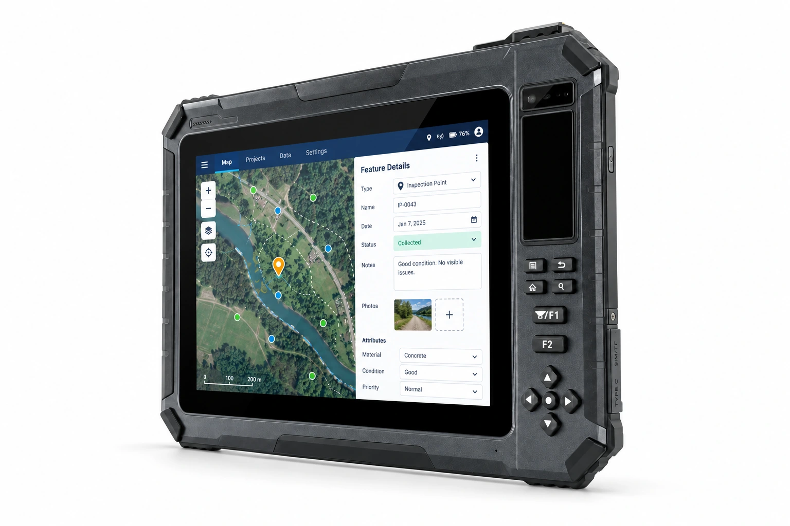
T101
GIS & capture configurationsField map and information-capture platform; choose positioning, identity or hazardous-location configurations.
View platform and configurations ↗Pilot validation & procurement acceptance
Record errors, recovery and export completeness at known control points, obstructed locations and during correction outages.
- Operations: confirm completion, exception review and result retrieval against real workflows.
- IT / integration: verify fields, permissions, offline recovery and duplicate handling.
- Procurement / support: freeze the tested device, software and accessories, and agree delivery, spares and service terms.
Questions before the project starts
Can this connect to our existing system?
GIS / location services / asset and work-order platforms are integration targets, subject to application compatibility, interface access and SDK validation. Share the software version, API specification and an anonymized workflow sample for a device pilot. Agree device supply, integration and rollout as explicit work packages.
What should we prepare before selecting pilot devices?
Provide CRS, mapping software and sample data, receiver protocols, accuracy requirements and outdoor conditions. Include deployment region, estimated quantity, project stage and intended rollout date to define candidate configurations and a test plan.