Define the positioning task
Distinguish navigation, tracks, dispatch, GIS capture and high-precision tasks, defining accuracy, update rate, latency and availability.
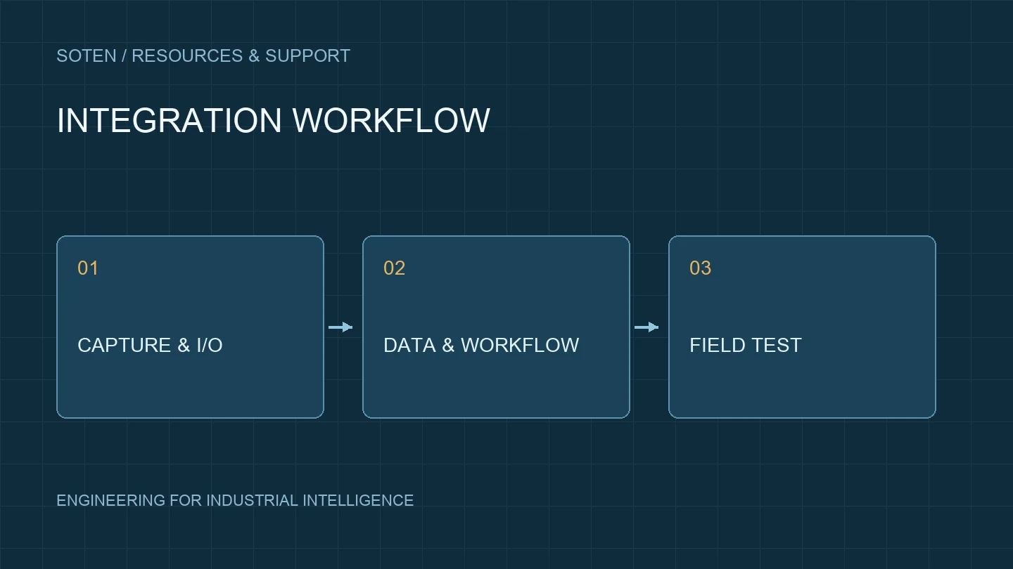
Confirm the complete configuration
Review GNSS or RTK configuration, antenna, corrections, network and software together. Positioning support alone does not establish RTK capability.
Interfaces and coordinates
Confirm protocol, coordinate reference, timestamps, fix status and correction settings, including coordinate transformations and invalid-data handling.
Field testing and records
Cover open sky, obstruction, motion and network changes. Record antenna placement, fix status, corrections and tracks against project acceptance methods.
Integration and delivery
Agree responsibilities across device, correction-service and business-software teams, freezing modules, antennas, settings and application revisions.